Environment Canada is calling for up to 15 centimetres of snow this afternoon, and issuing a Blowing Snow Advisory.
Meteorologist Peter Kimbell tells us they are predicting strong wind gusts up to 70 kilometres per hour, which could create white-out conditions for drivers.
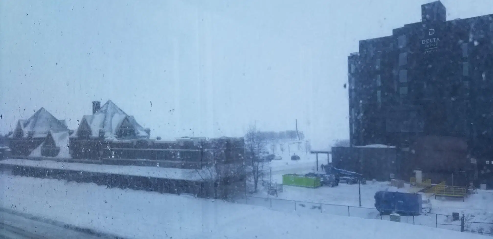
He feels it isn’t a good day to be travelling, noting you can expect poor visibility on the roads.
The OPP have closed the Trans-Canada in both directions at Nipigon from the 11/17 junction to Longlac and beyond Hearst, because of poor visibility and road conditions.
As well, Highway 17 between Marathon and White River is also closed because of weather conditions.
Synergy North outage map is showing some small pockets of the north and south side are without power.
The Hydro One outage map indicates there are eight areas without electricity affecting over 500 customers with restoration time estimated at around 2:45.
City police have no collisions to mention, while OPP tweet there was a crash earlier today on the 11/17 between Upsula and Shebaqua Corners. That’s been cleared, with no word on possible injuries.
ROAD CLOSURE: Hwy 11 closed between Nipigon and Cochrane due to poor weather conditions. ^kw
— OPPCommunicationsNWR (@OPP_COMM_NWR) February 24, 2019
Highways to the east are also closed, including in the Wawa and Chapleau areas.
ROAD CLOSURES: Many road closures throughout the region due to poor weather conditions and water on the roads. Please see below for a full list of closures. ^kw pic.twitter.com/NTPV6e8dxM
— OPPCommunicationsNER (@OPP_COMM_NER) February 24, 2019
Highway 17 is listed as partly snow-covered from the Harbour Expressway to Shabaqua Corners.
Highway 102 is also only partly clear from the North McIntyre area to Sistonens Corners.
It’s similar conditions for Highways 588 and 590 in the Harstone and Nolalu areas.
Southwest of the city, Highway 61 is covered with snow from Thunder Bay to the border, as are highways in the South Gillies and Slate River Falls areas.
A large number of arrivals and departures are cancelled or delayed, including flights from WestJet, Air Canada, Porter, and North Star Air.
You can read Environment Canada’s statement below.
Keep checking here for updates as they become available.
Blowing snow advisory in effect for:
- City of Thunder Bay
Poor visibility in snow and blowing snow expected today into tonight in exposed areas.
Snow combined with northwesterly winds gusting from 50 to 70 km/h are expected, resulting in poor visibility in blowing snow in more exposed areas. Visibility will improve tonight as winds diminish.
Snowfall amounts are generally expected to be limited to a few centimetres.
Please note that for areas near western Lake Superior including Thunder Bay, this blowing snow advisory replaces the winter storm warning that was in effect.
Travel is expected to be hazardous due to reduced visibility in some locations. Be prepared to adjust your driving with changing road conditions.
Please continue to monitor alerts and forecasts issued by Environment Canada. To report severe weather, send an email to ONstorm@canada.ca or tweet reports using #ONStorm.